Horizon View Drones is a full-service commercial drone operation delivering precision aerial data and professional inspection services to Canadian businesses. Transport Canada Advanced RPAS certified and fully insured, we support construction, engineering, property, and production clients across the country.

Precision Data Collection
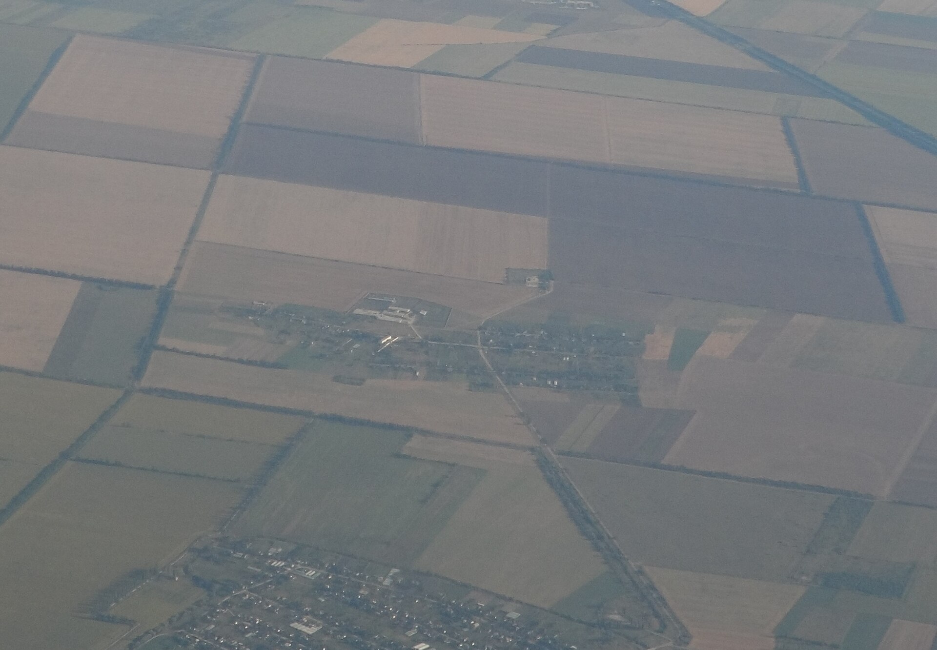
Survey-grade aerial data transforms how construction and engineering teams plan, execute, and document their projects. From pre-development site analysis to ongoing progress monitoring, our precision mapping platform delivers the accuracy and turnaround your team needs to stay on schedule and on budget.
Aerial Surveying and Topographic Mapping
We capture high-resolution topographic data across your entire project site in a fraction of the time conventional surveying methods require. The deliverable is a precise elevation model and contour data set your engineering team can import and work from immediately.
Orthomosaic Mapping
Orthomosaic outputs give you a geometrically corrected, high-accuracy aerial map of your site that imports directly into CAD and GIS platforms. Every pixel is spatially referenced, making this the standard deliverable for site planning, boundary verification, and coordinated design work.
Volumetric Measurements
We calculate stockpile volumes and cut-and-fill quantities from aerial data, eliminating the need for manual measurement and reducing the margin for error. Clients in aggregate, earthworks, and quarry operations use this data to track material movement and optimize site logistics.
3D Modeling and Site Modeling
Our commercial mapping platform generates detailed 3D point clouds and surface models from aerial captures of your site or structure. These models support design review, quantity verification, and client reporting without requiring an on-site visit from every stakeholder.
Construction Progress Monitoring
Scheduled aerial captures at defined project milestones give project managers an accurate, time-stamped record of site conditions. This documentation supports scheduling decisions, subcontractor accountability, and dispute resolution throughout the project lifecycle.
Pre and Post Development Documentation
Before breaking ground, we document existing site conditions in full resolution. After completion, we deliver a comprehensive as-built aerial record that satisfies regulatory, insurance, and client requirements.
Professional Inspection
Drone inspections eliminate the cost and safety risk associated with scaffolding, lifts, and manual access methods for visual inspections. We deliver high-resolution imagery and structured visual reports that give property owners, engineers, and insurers the detail they need to make informed decisions quickly.
Roof and Building Inspections
Our aircraft capture close-range, high-resolution imagery of roofing systems, facades, parapets, and penetrations that would require expensive access equipment to inspect on foot. Clients receive an organized image report with clearly documented findings.
Solar Panel Visual Inspection
We document the physical condition of solar installations from above, identifying visible damage, soiling patterns, and installation anomalies across the full array. This is a fast, non-disruptive approach to maintaining your solar assets and supporting warranty or insurance claims.
Site Documentation
Comprehensive aerial documentation of a property or project site provides a permanent visual record at any stage of development or occupancy. This output supports insurance underwriting, compliance reporting, legal proceedings, and marketing use.
Property Condition Reporting
We produce structured condition reports for commercial and residential properties, combining aerial imagery with organized written findings. This service is used by buyers, lenders, insurers, and property managers who need an objective, documented view of an asset.
Infrastructure Assessment
From bridges and transmission towers to drainage systems and retaining walls, we provide aerial visual assessments of hard-to-access infrastructure. The imagery we deliver reduces the need for costly closures, specialized access equipment, or confined space entry.
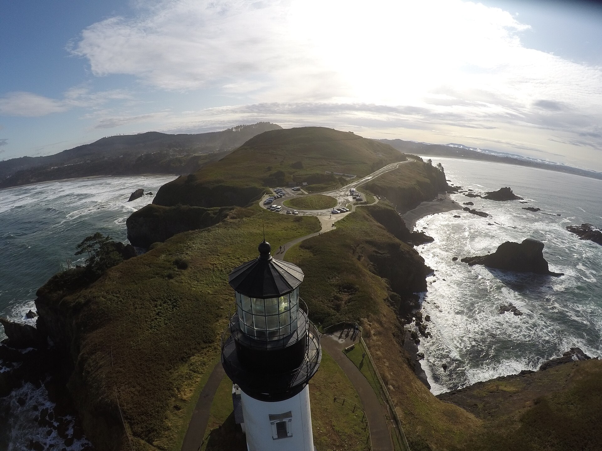
Cinematic and Creative
While precision data and professional inspection are the core of what we do, Horizon View Drones also serves corporate communications and production teams that need high-quality aerial content. We bring the same operational precision and professionalism to creative projects that we apply to every commercial engagement.

Corporate Event Aerial Coverage
We provide aerial photography and video coverage of corporate events, grand openings, and community gatherings that gives clients a perspective no ground-based crew can match. Deliverables are provided in broadcast-ready formats suitable for marketing and media use.
Film and Video Production Support
Our pilots operate legally and safely on set, coordinating with production teams to execute aerial shot lists with precision and reliability. We hold the certifications required to fly in controlled airspace and near urban areas where production work regularly takes place.
Marketing and Promotional Aerial Photography
High-resolution aerial stills and video of commercial properties, developments, and facilities add significant impact to marketing materials, websites, and investor presentations. We deliver content that shows your assets at their best.
Site Security Monitoring
Periodic aerial overflights of large sites, yards, and facilities provide a documented visual record of conditions and activity on your property. This service supports asset protection, compliance verification, and site management for clients with large or remote holdings.
Ready to Get Started?
Tell us about your project and we will provide a straightforward quote with no pressure and no obligation.